

“The Gulf of Nicoya is one of the most beautiful spectacles of southern nature imaginable. Take away from the Gulf of Naples the works that correspond to man’s artistic activity, that is, the entire city of Naples and its surroundings, and I bet that every traveler will award the palm to the Gulf of Nicoya.” -Wilhelm Adolph Marr, German traveler, February 1853.
This quote goes with the photo of an orange sunset that contrasts with the blue of the mountains and the waves of the Gulf of Nicoya at the beginning of the “Marine-Coastal Atlas of the Gulf of Nicoya,” a multidisciplinary diagnostic more than 300 pages long prepared by the Marviva Foundation. It pulls together existing data on the gulf and also provides new analyses.
“There’s a large amount of information on the Gulf of Nicoya, scattered in socioeconomic and environmental diagnostics, scientific research, historical reports and newspaper articles,” explained the foundation’s director, Jorge Jimenez.
Any reader who wanted to have a comprehensive view of the Gulf had to make a very big effort to compile all of that information.
The Cámara de Pescadores de Guanacaste (CPG) launched the Arroz y Frijoles initiative, where the institution buys seafood from fishermen and then sells it at the farmer’s fairs.
The findings are worrisome. A lot of plastic waste from the central plateau area ends up in the gulf, and the area’s seawater and fish are polluted by pesticides and plastics. The report also takes a look at the attempts of protected areas to improve conservation in the region and obstacles that they’ve encountered.
The Voice of Guanacaste spoke with Jimenez about the document’s key points. “We try to give a fairly comprehensive vision of what is perhaps Costa Rica’s most important coastal region for us,” emphasized Jimenez.
Here is a summary of the keys to understanding the new atlas of the gulf in seven points:
1. A majestic gateway to the country
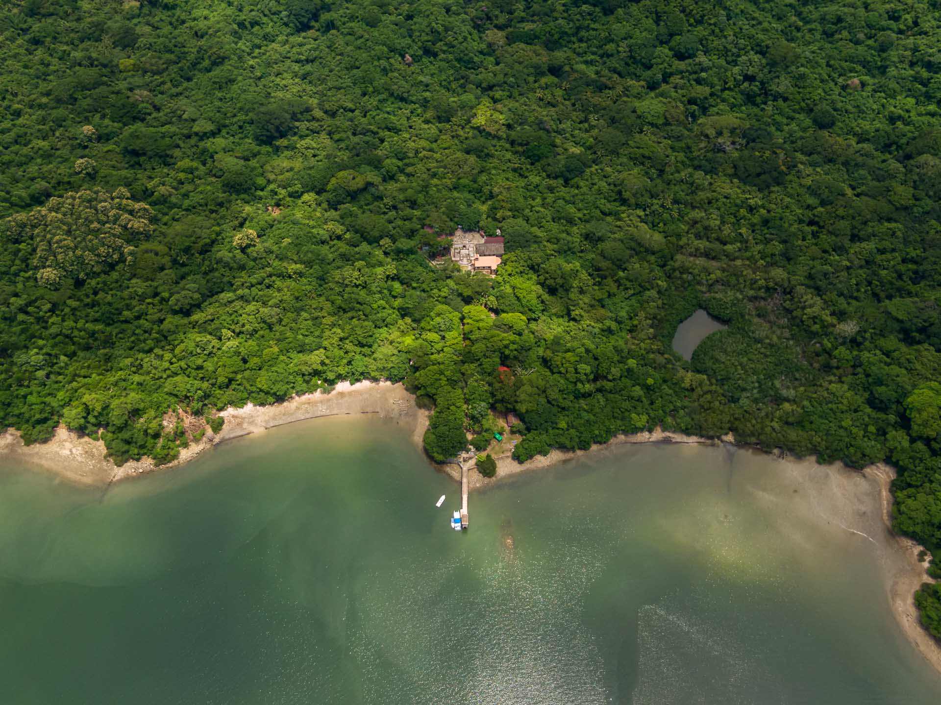
The atlas has a chapter devoted to the gulf’s historical importance, considering it to be the gateway to Costa Rica, its colonization and foundation as a republic.
European navigators saw the rich landscape of the gulf and, despite this, Costa Rica still doesn’t exploit its beauties in most areas,” lamented Jimenez.
The rich landscape they saw wasn’t like what we can see today on tour. In addition to edible fish, this area was inhabited by sharks and whales in the 18th century. “Now it seems normal to all of us that they don’t exist, and it has a lot to do with overfishing and pollution,” he added.
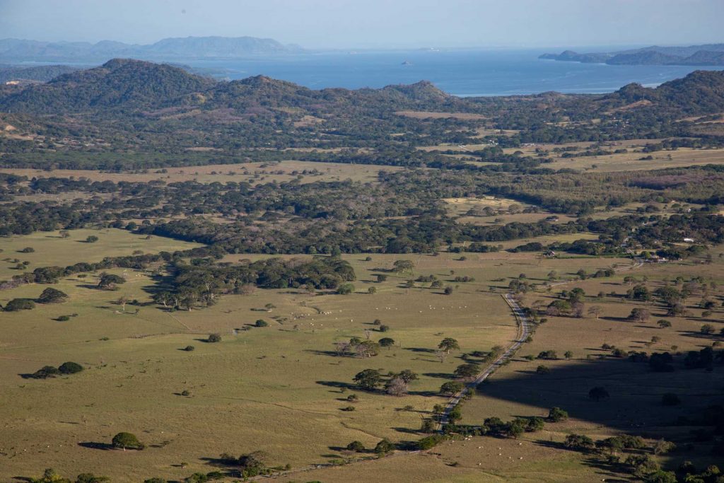
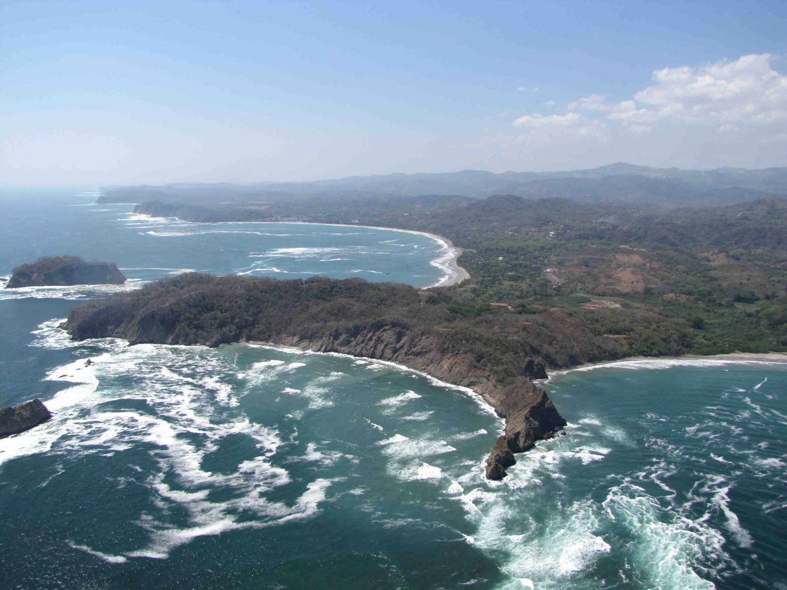
The Gulf of Nicoya viewed on the ascent to the top of Cerro Caballito. Credit: César Arroyo Castro
Ancient chronicles also describe how the pastures along the coastline were forests.
Despite these losses, the gulf continues to be one of the most productive ecosystems on the coast, and it has a socioeconomic role that supports thousands of coastal residents through tourism, fishing and aquaculture. The question is, for how much longer?
2. A polluted gulf
The gulf ceased to be the country’s main traditional fishing area due to the decrease in fish populations, explained Jimenez. He clarified that this environmental problem isn’t just because of overfishing, but also has to do with the pollution of the Tempisque River’s waters.
In addition to pesticides and organic pollutants, they recently figured out that a lot of plastic waste from the central plateau area is ending up in the gulf.
The atlas warns that the quality of the water at the mouths of the Tarcoles and Tempisque rivers isn’t even suitable for agricultural use and that some tourist beaches near the gulf have levels of fecal contamination that are too high.
Another important finding is that microplastics aren’t just in the water, but also inside the fish. In other words, the area is producing contaminated fishing products.
3. The challenge of climate change
The document warns that the waters of the gulf are getting warmer, the waves more aggressive and the water level is rising. This poses serious problems for the region’s urban and port infrastructure.
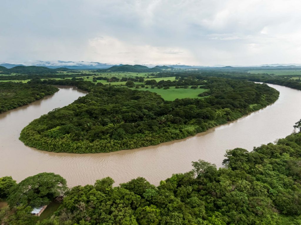
Beautiful aerial view of the Tempisque River in Palo Verde Nacional Park. Credit: Gianfranco Vivi / ShutterstockPhoto: Gianfranco Vivi / Shutterstock
Jimenez insisted on the need to make a plan for the marine space and its coastlines, taking into account changes over the next few decades, such as the rise in sea level, more frequent storms and greater dryness and heat in the atmosphere.
We need to take action on the matter, plan this region very well, including relocating infrastructure, settlements and preparing for the changes to come,” he recommended.
4. Cultivating our gulf
One of the atlas’ proposals is that governments promote the development of productive alternatives for fishermen, especially mariculture.
“Even recovering to historical levels, the gulf’s productivity wouldn’t be capable of maintaining the current fishing effort that exists,” Jimenez said.
In this area, there are already fish, oyster and shrimp farms. But Jimenez decried that it’s a productive sector abandoned by the State, which makes the situation more complicated because the demand for seafood products is increasing.
“We have the technology and knowledge. What we don’t have are regulations, procedures and technical training. It’s an activity that can’t take place without investments in infrastructure and training for many of the people who live there,” he pointed out.
5. Community tourism
According to the report, one of the alternatives for those who live in the gulf area is to try to develop community tourism instead of the large infrastructure model common in other coastal areas. The atlas recommends a model driven by fishermen and community associations.
Jimenez explained that to achieve this, they need to establish tourism circuits and production chains to have accommodations, restaurants, tours and training to attract this tourist market. He also thinks that some mechanism is needed to provide legal security for tourism investments in the area.
Now that the fishing extraction has been reduced by half and there will probably be even greater reductions in two or three decades,” he added.
6. Unifying efforts
The atlas highlights deficiencies in management of the region. The absence of planning processes causes problems in resource management since coordination hasn’t been developed between the regions of socioeconomic planning and those involved in environmental planning.
Different institutions intervene in the gulf with isolated and uncoordinated efforts. According to Jimenez, this generates a series of management problems that are causing deterioration and a very important socioeconomic crisis.
Playa Blanca, Puntarenas, Costa Rica. Credit: Jose Arroyo / ShutterstockPhoto: Jose Arroyo / Shutterstock
Marviva hopes that policy makers, state agencies, academics, researchers and community leaders will use the atlas to have at hand a detailed synthesis of different aspects related to the gulf.
7. A gulf of fish and corals
The gulf has an impressive recovery capacity and very high productivity levels, explained Jimenez. That’s why he’s confident that, with good management in the coming decades, the gulf and its islands can recover fish and cetacean populations, mangroves and coral reefs.
“The populations reproduce and grow rapidly, so if we remove contamination, the pressure from fishing and properly manage the spaces, we could have a region that’s once again productive in a matter of five or seven decades,” he concluded.

Comments