
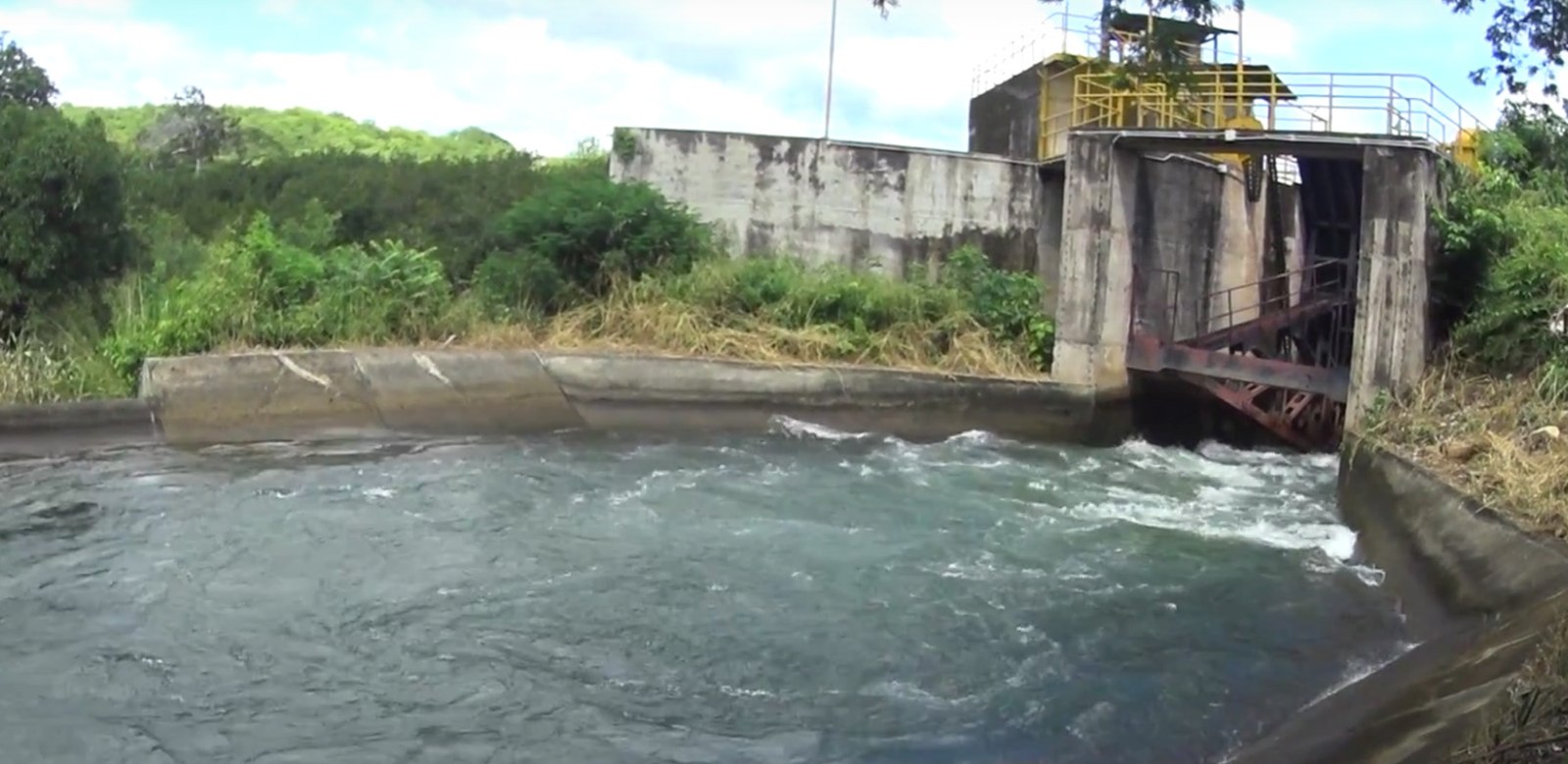

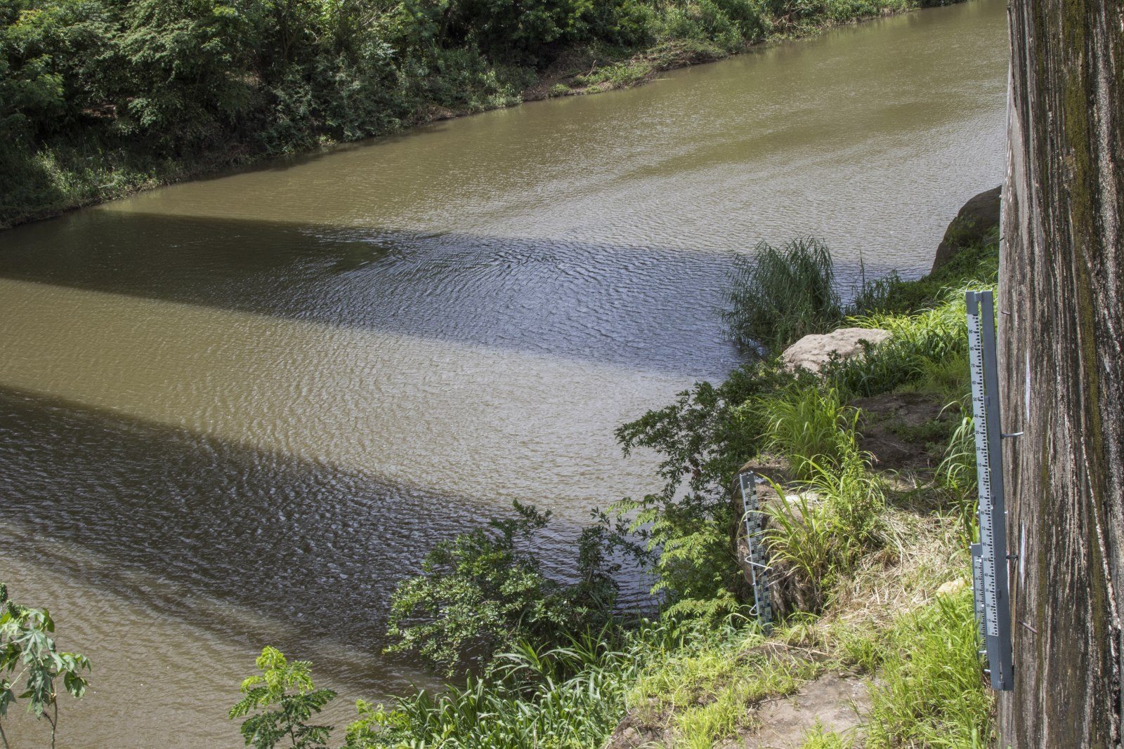
Knowing how much water enters the Arental-Tempisque watershed, how much infiltrates, circulates and is lost are data that could become precisely known, thanks to a University of Georgia project.
The students of the university are implementing a project named “Costa Rica Water Resources.” They are part of the NASA program Develop, which allows for satellite images to be used and cross-referenced with data from local institutions, such as the National Groundwater, Irrigation and Drainage Service (SENARA – Servicio Nacional de AguasSubterraneas, Riego y Avenamiento) and others available for the site.
Javier Artiñano, a member of Senara, explained that the students created software called Swat – Soil and Water Assessment Tool, which is projected to be functioning at the end of this year. The Costa Rican embassy in Washington, D.C. was responsible for establishing the link with the university.
“All of the information about soil, the climate, from meteorological stations [and] water flows in the basin is entered into the program, and it determines the parameters such as water infiltration [and] recharge rates. The tool also helps to show how changes in the land use affect the watershed’s hydrology and movement. So it’s information that will help when making decisions,” said Artiñano.
Artiñano added that the results will yield a better understanding of the region’s water processes, which will allow for an inventory of the water resources for the Arenal-Tempisque watershed.
According to the project’s description, when the data is collected, SENARA will be able to reproduce the tool’s methods and thus continuously update its water budget. That will allow for a more efficient water management plan to be made for the benefit residents and local stakeholders.
For Artiñano, the indicators that will be obtained from the tool will enable local institutions to make decisions based on real data, and thus allow for a better use of water during times of drought.
[video:https://www.youtube.com/watch?v=DHl6tqOfv14&index=35&list=PLL8pCbx5gnDbT-t2_fVM1yhFc-q58V8xy width:550 autoplay:0]


Comments