

How many beans are planted in the country? The answer is key to establishing trade mechanisms that are fair for both producers and consumers, but authorities don’t know the answer.
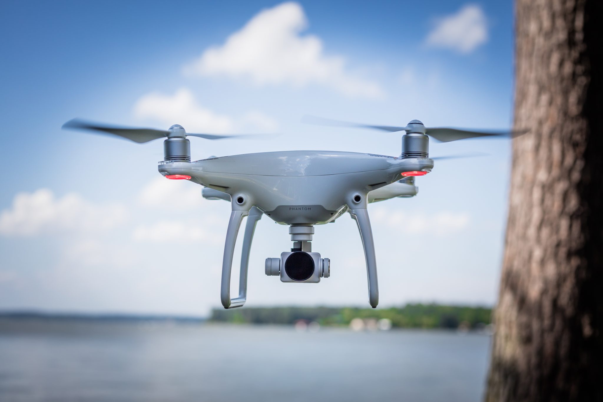
The National University’s (UNA) School of Topography began tracking this number in Guanacaste with drones, whose technology allows quick and precise measuring better than current methods that are based on information provided by farm owners.
The project started the third week of January in Santa Cecilia de La Cruz.
“The idea is to have a map of land use for bean crops to corroborate if a producer is accurately declaring land use,” said UNA project coordinator Steven Oreamuno.
A drone can measure 1.6 hectares in a single minute, which is impossible with other methods. By now, the researchers are using two of these vehicles.
The school signed a mutual cooperation agreement with the Agriculture and Livestock Ministry and the National Production Council (CNP), the agencies tasked with compiling scientific information to shape decision-making.
The measurements started in Guanacaste because the region currently is in full production. There are about 3,500 hectares of beans planted in the province.
According to Oreamuno, the idea is to have data for 100 percent of the crops planted in the country in a single year, but that will depend also on conditions in the field.
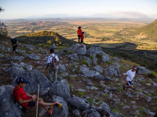
“We’ve come across areas with bean crops that we could only reach after two or three hours on horseback to reach the farm,” he said.
With the project, the CNP also hopes to crack down on contraband, which according to José Eduardo Valerín, head of basic grains, occurs with some frequency in the country’s Northern Zone.

Comments